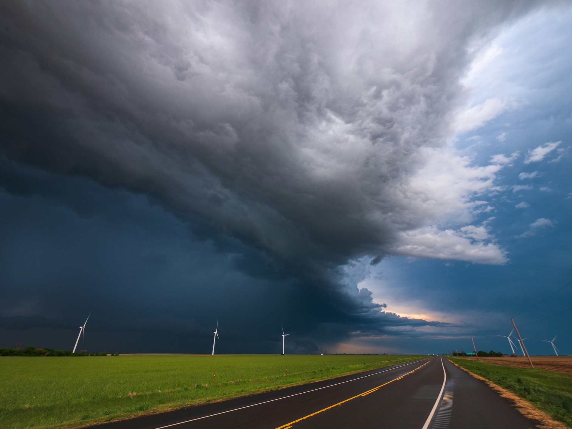
Two separate systems are set to bring severe storms across the United States in the coming days, posing threats including tornadoes, destructive winds, hail, and even flooding.
Approximately 40 million people from Ohio to Connecticut are under the threat of severe storms starting Sunday afternoon. There is a Level 3 out of 5 risk for severe storms spanning from eastern Ohio to northern Pennsylvania, including Pittsburgh. Major cities such as New York and Philadelphia also face the possibility of severe weather this Sunday, with a Level 1 out of 5 risk for severe storms forecasted.
On Monday and Tuesday, a new system will develop across the central United States, bringing the threat of severe storms from Texas to South Dakota.
Monday afternoon and evening could witness destructive winds, large hail, and some tornadoes. There is also a potential Level 3 out of 5 risk for severe storms in western Oklahoma and northern Texas. Surrounding this area is a Level 2 out of 5 risk, which includes Kansas City, Wichita, and Oklahoma City.
The storms are expected to intensify Monday afternoon and move eastward overnight.
Given the likelihood of nighttime storms in these areas, ensure you can receive weather alerts before going to bed. Research indicates that nighttime tornadoes are more than twice as deadly as those occurring during the day. Nighttime tornadoes are hard to spot in the dark, and sleeping individuals may not be aware of the approaching danger.
Even before the storms start, winds could gust up to 45 mph from western Nebraska to the Texas panhandle.
On Tuesday, the severe storm threat will shift from southern Wisconsin to Louisiana. The main threat will be destructive winds, but hail and an isolated tornado are also possible. The most concentrated corridor of severe weather on Tuesday, especially for hail and tornadoes, is expected over southern Iowa and Missouri by mid-afternoon and into the early evening.
